I rained off and on Saturday morning, but by some stroke of luck, it stopped long enough for a six mile hike in the Ste. Genevieve area. Boy, am I glad that it did! This was my first time hiking in Hawn State Park and it was a real treat. We fully intend to return to it in the Fall or Spring and hike the full Whispering Pines Trail. As it were, we only got to hike the North Loop because of the rain and a severe lack of sleep the night before. We were worried about starting so late in the day, but it worked out quite nicely.
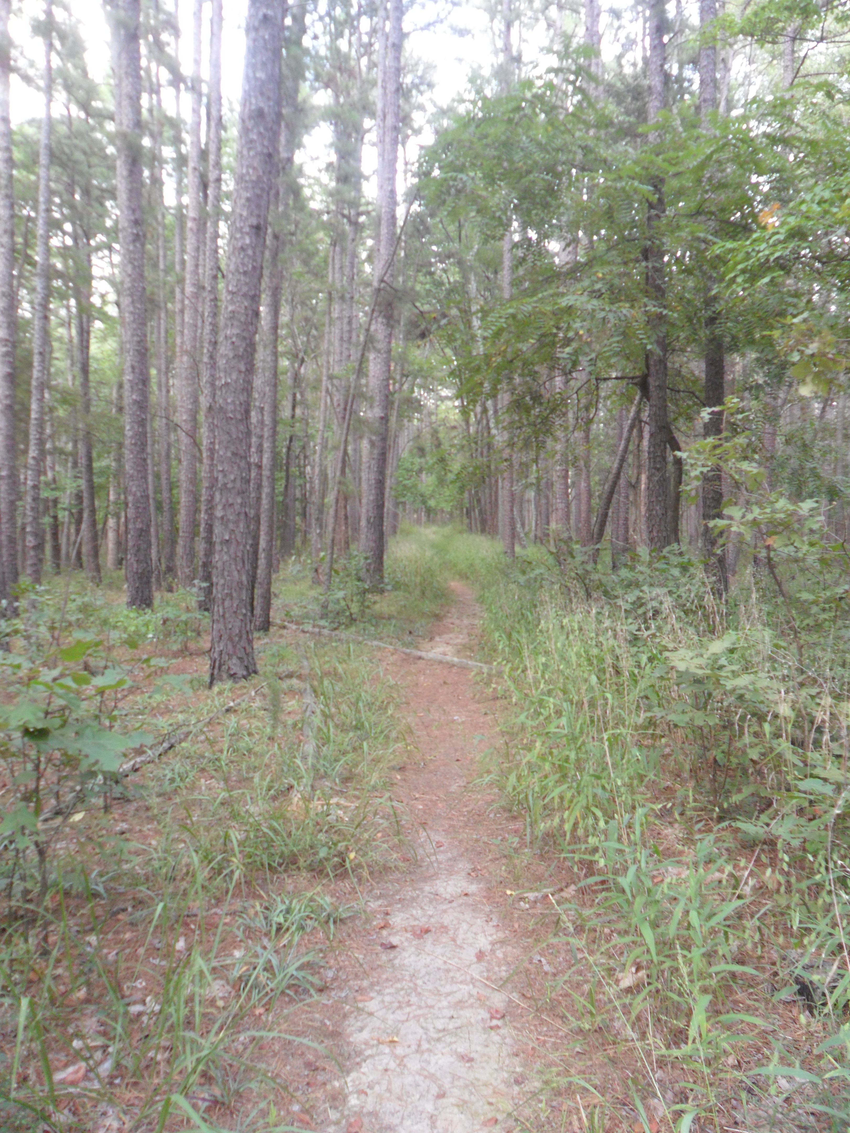
The North Loop starts on a strong note with a wooden bridge that crosses the Creek–right away I knew that I was right to look forward to this hike. The water was clear, cutting through sandstone and lined by wildflowers, trees, and other plants. The trail continues through flat and hilly grades. For the first time, I experienced hiking on sandy trails–what a bizarre feeling! The pine trees that give the trail its name are everywhere, standing tall and strong.

The pines that give the trail its name stand tall. Their bark reminded me of old shingles.
It wasn’t long before we came to the first overlook. It’s no where near the most breath-taking overlook, but it’s always nice to have a hill rewarded by a view. The boulders and cliffs, which appeared stacked upon one another, were by far my favorite part of this view. After admiring the rock and the vegetation surrounding us, we moved on. Before long, we heard rushing water. We took a short trail down to the water and found, in our opinions, the best part of the hike.

Pickle Creek flows clear through sandstone.

Dem rocks.

I’ll take this in my backyard, thanks.

Okay, last one.

Just kidding.
It was a really lovely site. The water was clear and shallow, running over flat stone. We took a few minutes to enjoy it, watching crawdads swim around and hide from us in stones (I missed the grand-daddy of crawdads, apparently) and walking ankle-deep in the water.

Who cares that it’s already 3:00 and we’ve got 5.5 miles ahead of us? You’ve got to live life while you can.
With heavy hearts, we headed back to the trail and followed it through a stream crossing. On the other side, we found the choice to take the connector trail to the South Loop, take the Pickle Creek Trail, and a little further along connect to the White Oaks Trail. Keeping with our plan, we stayed on the North Loop. The trail followed the Creek for a while, every now and then crossing tributaries or leading away. We saw a great deal of wildflowers near these streams, bright pops of color against their green surroundings. We stopped many times to “awwe” over tiny lizards or snakes.
If you have a hard time with steep grades, I wouldn’t recommend this hike. It’s a real cardio workout! Like a fool, I left my inhaler at home, but I powered through and took breaks as needed! But the scenery is really worth it if you can handle it. For a little while, the trail took us away from the creeks and through long treks of pine forest. It seems apparent that this trail would be a poor location during a storm, as we often saw blackened tree trunks. I am aware that many Missouri parks use controlled burns to maintain sites, but I’m not sure if this is one of them. Either way, it was amazing to see how strong these trees really are.
Part way through this hike I found myself asking, “Are we near a highway? I think I hear cars.” Then we realized, no, it’s the wind in the trees. Dare I say it? The pines were whispering. We took a moment to pause and listen to them. As a person who grew up in the suburbs, used to the constant sound of traffic, it was a really amazing experience. To be surrounded by nothing but nature, to hear the trees talk and the birds warning each other about the two strangers coming through, was astounding.
It’s like something out of a brochure, isn’t it? I wish my camera could do it justice.
I feel a bit cheesy now, but I think the experience deserved some provolone. After what seemed like non-stop hills, we reached an overlook and realized just how far up we were.

At highest point of the trail, there’s nothing but trees as far as the eye can see.
Did we reach this point on our very own two feet? Thanks, quads of steel. We left the view after a moment of awe and trekked on. It was shortly after this that we got lost. It was while lost that I remembered seeing nothing but trees as far as the eye could see and thought to myself, “Holy Hell, why don’t I have a compass? Why is my phone almost dead?” We managed to find our way back to what was apparently a fake trail and then found the red blazes again. Keep your eyes peeled, because sometimes you realize that other people wander off the trail and it’s scary when their trail suddenly disappears. We missed a turn up into the rocks.
By this point in the trail, I’ll admit, I wanted the parking lot desperately. My legs were itching from wading through overgrown portions of the trail, if I had to swat another gnat away from my ears one more time I was going to punch a tree, and, seriously, did this horse fly have me confused with someone who killed its entire family or what? There came a point on the last leg that we came extremely close to the camp grounds and could hear the RVers having a good time and thought, “By God, we’ve done it,” but then the trail was like, “Haaaaa, just kidding!” and led us away, uphill.
We did come to the wooden bridge we started on eventually, and I remember saying, “Alright, let’s soak our feet in the creek now,” but we returned to the car instead. With our shoes and socks off and the AC blasting, we headed back home.
“Good couples get dirty in the woods together.” It’s okay if you want to use that quote, I won’t mind.
What have I learned? No matter how mad at the bugs you get, it’s always worth it. Bring a compass, make sure your phone is charged (for good measure, put it on airplane mode so the battery isn’t drained while it searches for a signal), and start early so you can do all of the stopping that you want. My extra inhaler is going in my pack permanently along with a bottle of bugspray.
Summary and Tips for Potential Hikers
Park Maps: Whispering Pines Trail, Pickle Creek Trail, White Oaks Trail
Whispering Pines Trail, North Loop
Blazed in red, 6 miles
Tips: Bugspray, bugspray, bugspray! Or, even better, hike this trail anytime other than summer. We would have enjoyed this hike twice as much if we hadn’t been busy swatting gnats and horseflies away. I thought for sure the bugspray was in the trunk! I’d also recommend wearing pants–another bonus for hiking it in cooler weather. Many parts of this trail are a bit overgrown and pants would have been nice. If you’re like me and have weak ankles, I’d recommend wearing boots. There are many rocky parts on this trail that mandate careful footing. Try to pay special attention to the blazes. We got near-panic lost at one point on the last third of the hike when we were supposed to go up toward the rocks, but continued straight on what appeared to be the trail (which, of course, disappeared after a bit). There are a couple of creek crossings, so take care when the water is high or it is raining.
Whispering Pines Trail, South Loop
Blazed in blue, 3.75 miles
Tips: Can be accessed via connector trail near beginning of North Loop, or can be added to the North Loop about halfway through the North Loop. Further tips may be given on a later post.
Pickle Creek Trail
Blazed in green, .7 miles (one way)
Tips: Can be used as the first portion of the North Loop by starting at the Pickle Creek Trail trail head and connecting with the North Loop by Pickle Creek, or can be hiked as a point to point trail. Further tips may be given on a later post.
White Oaks Trail
Blazed in yellow, 3.75 miles
Tips: Can be accessed via two connector trails along the Whispering Pines North Loop or at the park entrance at the end of 144.
Miles hiked this day: 6
Miles hiked of goal: 15.5/60
